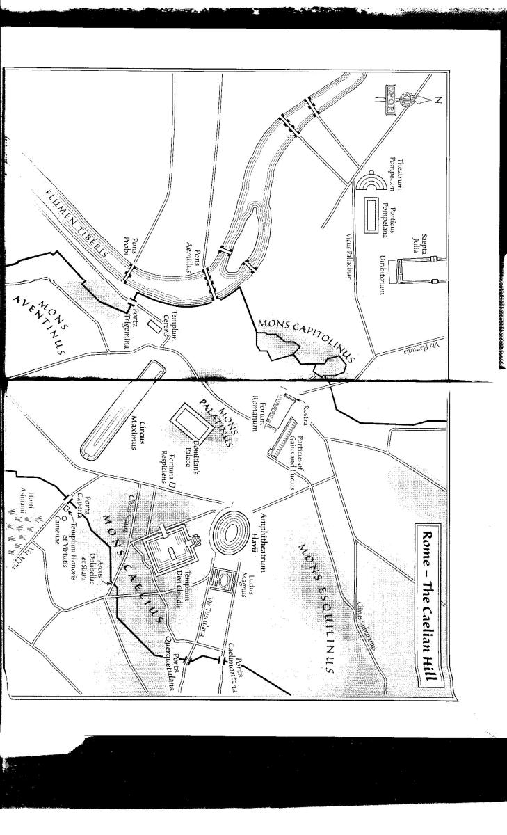
Readers of Ebooks and Audiobooks have asked for copies of the Maps. These are scans (some not brilliant) of those in the books. Please note they are for personal use only, one download or print permitted. Otherwise, you must ask the relevant publisher for copyright permission and they are entitled to make a charge.
My principle is that I am writing novels not geography books. My text should give enough details for understanding the story; I believe it does. However, we often provide sketch maps as an extra, patiently created from my horrible briefs by Rodney Paul. They need to fit onto the page of a small paperback so they cannot contain too much detail. A little more detail is in Falco: the Official Companion, which also discusses the tools I use myself.
I receive more moans from fanatics about the maps than anything else and, if I had my time over, I would never have started this!
Perhaps it will be useful to nitpickers if reiterate that the boundary of Rome shown is not the Aurelian Walls. I do know they were built later. But the 14 Augustan districts would have had boundaries and monumental gates. Civil servants devised the districts (which are still on streetsigns today). Every bureaucratic office had a plan with a line drawn around the city, believe me.
Most of the maps are drawn by Rodney Paull; after he retired in 2021 we changed to Rosie Green.

